
From the western waterfront of Brooklyn, starting at the Brooklyn Bridge Park, to the Van Wyck Expy in Queens, the Atlantic Avenue is a total of 16,5 kilometers long. From this very divers 16,5 km there is a notable different part of approximately 3 kilometers, located in the neighborhood of Crown Heights.
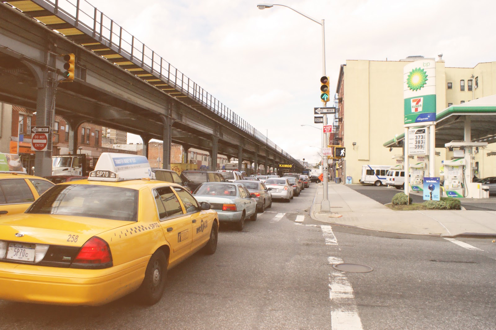
It varies from the other parts due to the elevation of the Long Island Railroad.


Looking at the flows on the Atlantic Avenue, there is a differnce of direction and use. Pedestrians use it differently than the automobiles does.
The elevated LIRR creates two very divers experiences of the facades of the Atlantic Avenue. One more directed at the big industry/manufacturing buildings. The other more at eye level.


How do you use the land around an elevated train? And especially the space under the LIRR. Which is now only used as a parking space, here and there.

A lot of the functions near the Atlantic Avenue can be seen as a barrier, a soundbarrier for the residential area against the train. Those functions are the industrial/manufacturing buildings but also the commercial, not mixed used, and public spaces. All of this is 73 percent of the two facades.
Answering the question 'What is the Atlantic Avenue?' isn't that simple. After a quick and short analysis it is clear that there is a very divers use of the street, but also of the area around the street with some similarities.
No comments:
Post a Comment